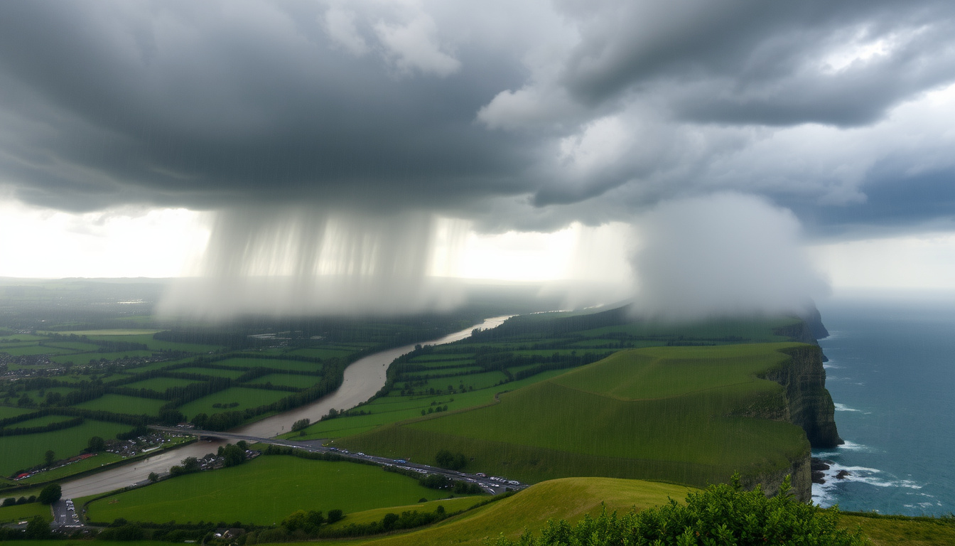
Media headlines describing an incoming “600-mile rainstorm” across the United Kingdom circulated widely during August and September 2025, prompting public concern about severe weather impacts. However, the Met Office has emphasized that the sensationalized framing did not fully reflect the nuanced reality of the weather patterns affecting the country during that period.
Rather than a single, exceptional meteorological event, the coverage referred to a series of low-pressure systems bringing spells of rain across large areas of the UK. These systems did extend across significant distances—often hundreds of miles north to south—but forecasts consistently indicated periods of drier weather interspersed with the wetter conditions.
This article examines the verified forecast information, affected regions, and official warnings issued during the August and September 2025 period, separating factual updates from headline exaggeration. For real-time guidance, the Met Office maintains current warnings through its official channels.
What is the latest forecast for the UK 600-mile rainstorm?
The Met Office forecast for the unsettled period centred on successive Atlantic low-pressure systems moving across the UK. Rather than one continuous downpour, these systems produced rain bands stretching considerable distances, with the largest covering areas spanning hundreds of miles from north to south.
Key insights from official forecasts
- The weather pattern involved multiple low-pressure systems rather than a single defined storm
- Rain bands frequently extended across large areas, with coverage spanning hundreds of miles
- Yellow rain warnings highlighted risks of travel delays and localized flooding in specific regions
- Near-average temperatures accompanied the unsettled conditions
- Drier interludes were expected between weather fronts
- Scotland and northern England saw the most persistent rainfall during the August period
- The Met Office explicitly noted that headlines exaggerating the severity did not reflect their official guidance
Snapshot facts
| Factor | Detail | Source |
|---|---|---|
| Coverage | Hundreds of miles north-south extent reported in headlines | Met Office |
| Warning Level | Yellow warnings active; no red or amber alerts | Met Office Warnings |
| Primary Threat | Travel delays and localized flooding from heavy rain | Met Office September Review |
| Temperature | Near-average for the time of year | Met Office August Review |
| Wind Conditions | Widespread breezes; gales on exposed coasts and hills | Met Office September Review |
| Flood Monitoring | Active alerts for Derwent Water area (Lake District) | Environment Agency |
Which areas of the UK will be affected by the 600-mile rainstorm?
The unsettled weather pattern did not affect all parts of the UK equally. Forecasts consistently showed that Wales and the northern regions of Britain bore the brunt of the most persistent rainfall, while some areas experienced comparatively milder conditions.
Scotland and Northern England
Northern and northwestern Scotland received the most persistent rainfall during the August period, according to Met Office forecasts. The northern and northwestern parts of England similarly experienced prolonged wet conditions. Brighter weather with scattered showers dominated elsewhere in Scotland during September, though rain continued to affect the north.
Wales
Wales faced particularly heavy rainfall, especially across its northwest, south, and southwest regions. Yellow warnings were issued for parts of Wales in September 2025, specifically highlighting the risk of flooding from heavy rain over western hills. The warnings ran from early morning through evening on the specified dates, covering the most vulnerable terrain.
Southern Britain
Southern Britain, including parts of southern England, experienced predominantly cloudy conditions with outbreaks of rain and drizzle. The south and southeast of England faced risks of thunder during the more active periods. Met Office forecasts noted that while rainfall affected these areas, it was generally less intense than in western and northern regions.
Northern Ireland
Northern Ireland saw brighter conditions with scattered showers during the September period, placing it among the less severely affected regions during that phase of the unsettled weather.
The “600-mile” description referred to the north-south extent of rain bands, but this coverage was not uniform. Coastal and elevated areas in the west experienced the heaviest precipitation, while eastern regions—particularly in England—often remained drier or experienced only intermittent rain.
When will the rainstorm start and how long will it last?
The unsettled pattern did not begin or end on a single date. Instead, it represented an extended period of changeable weather driven by successive Atlantic low-pressure systems arriving over several weeks.
August 2025 onset
Low-pressure systems dominated the UK weather from early August 2025, bringing spells of rain across large areas. The Met Office noted Atlantic influences as the primary driver, though no specific “horror storm” was confirmed during this initial phase. Weather fronts moved through periodically, with drier interludes between them.
September 2025 peak activity
September 16, 2025 marked a particularly active period, with heavy rain warnings issued for Wales. Specific timing included yellow warnings for northwest Wales from 0300 to 1200 UTC on a Wednesday, and for south and southwest Wales from 0600 to 2300 UTC the same day. Rain swept northeastwards through each day during this phase.
Pattern progression
General observations during the period indicated that rain tended to move northeastwards during daytime hours, with the heaviest precipitation typically falling overnight in northern and western areas. The unsettled conditions extended into weekends, with showers continuing beyond any single rain event.
Met Office forecasts emphasized that the weather pattern would remain changeable through late 2025, with rain risks persisting in western and southern areas while higher pressure brought drier conditions to northern and eastern regions.
How much rain is expected and what warnings are issued?
Rainfall descriptions during the August-September period emphasized conditions that were heavy at times, persistent in nature, and locally intense—particularly in south Wales and parts of the western hills. However, the Met Office did not provide precise millimetre totals in its public statements, and the headline descriptions of “deluge” or “wall of rain” exceeded what official forecasts supported.
Weather warning levels
The highest warning level issued during this period was yellow. Yellow warnings cover situations involving heavy showers, travel delays, and potential flooding but are not classified as life-threatening impacts. No red or amber warnings were issued specifically in connection with the weather pattern described in headlines as a “600-mile rainstorm.”
The yellow warnings that were active highlighted risks including travel delays from heavy rain, possible road and rail closures, and gales affecting exposed coastal and hill areas. Winds were forecast to increase alongside rain bands, with potential for gusts in western hills and coastal regions.
Flooding concerns
Localized flooding was reported in low-lying areas near Derwent Water in the Lake District, where high river and lake levels from prior rainfall created elevated risks. The Environment Agency maintained monitoring of these areas as further showers added moisture to already saturated ground.
The combination of persistent rain and heavy showers increased flooding potential where ground was already saturated, particularly in Wales and northwestern regions. However, these risks remained localized rather than widespread across the entire “600-mile” coverage area.
Ground saturation from preceding rainfall elevated flooding risks in affected areas. Residents in low-lying regions, particularly near rivers and lakes in the Lake District and western Wales, were advised to monitor official flood alerts from the Environment Agency.
What are the expected impacts on travel and daily life?
The yellow weather warnings explicitly flagged potential travel disruptions as a primary concern during the unsettled period. These warnings indicated that heavy rain could lead to delays on road and rail networks, with possible closures affecting journey planning.
Transport disruptions
Road travel faced particular challenges in areas receiving the heaviest rainfall, with reduced visibility and standing water creating hazardous driving conditions. Rail services were subject to potential delays where flooding affected tracks or where signal equipment was impacted by heavy rain. The western hills and coastal routes experienced the most significant disruption risk.
Wind impacts
While headlines referenced wind speeds reaching up to 70mph, the Met Office forecast characterized conditions as widespread breezes with gales possible on exposed coasts and hills rather than extreme wind across the board. These winds accompanied rain bands moving through the country, adding to the unsettled conditions but not representing a separate severe wind event.
Daily activities
Outside of directly affected areas, daily life continued largely as normal with adjustments for intermittent wet weather. Outdoor events and activities in western and northern regions faced higher disruption likelihood, while southeastern areas experienced fewer interruptions. The near-average temperatures meant that cold weather preparations were not required beyond standard seasonal readiness. For those planning outdoor activities, checking the $Météo La Grande Motte 15 jours is recommended.
Those with outdoor plans in western and northern areas during the unsettled period were advised to check the latest Met Office warnings before travelling, as conditions could change rapidly with the passage of each weather front.
When did the unsettled weather pattern develop?
The sequence of weather systems affecting the UK during this period followed a documented progression of Atlantic low-pressure influences arriving over several weeks.
- Early August 2025 – Low-pressure systems began dominating UK weather, bringing initial spells of rain across large areas. Atlantic influences established the changeable pattern.
- Mid-August 2025 – Hurricane Erin (Category 3) tracked in the Atlantic. The Met Office assessed only a low probability of it becoming an extratropical depression near northwest Scotland, with minimal direct UK impact forecast.
- Late August 2025 – Continued unsettled conditions with rain affecting Scotland and northern England most persistently. Southern regions experienced variable cloud and rain.
- Early September 2025 – “Storm Amy” appeared in some headlines but was not an official Met Office name. The unsettled pattern continued without formal storm naming.
- September 16, 2025 – Yellow rain warnings issued for specific areas of Wales. Heavy rain warnings covered defined time windows with specific regional targeting.
- Late September 2025 – Met Office outlooks continued to emphasize changeable weather with rain risks in western and southern areas. High pressure began influencing northern and eastern regions.
What is confirmed versus what remains uncertain?
Clear distinction exists between information supported by official Met Office sources and claims that circulated through media headlines without verification.
| Established information | Information requiring verification or remaining unclear |
|---|---|
| Yellow weather warnings were issued for specific Welsh regions on defined dates | Precise millimetre rainfall totals for specific locations |
| Rain affected Wales, England, and Scotland with varying intensity | Whether “600 miles” accurately measured any single rain band |
| Northern Ireland experienced brighter conditions with showers | The validity of “Storm Amy” as an official designation |
| Flood alerts were active near Derwent Water in the Lake District | Whether all areas mentioned in headlines (9 cities for “deluge”) actually experienced severe impacts |
| Travel delays were flagged as likely in yellow warning areas | The accuracy of 70mph wind speed claims in affected regions |
| No red or amber warnings were issued for this weather pattern | Whether Hurricane Erin had measurable influence on UK weather beyond Atlantic tracking |
What is the meteorological context for this weather pattern?
The weather pattern described in headlines as a “600-mile rainstorm” was fundamentally driven by Atlantic low-pressure systems traversing the UK. These systems are not unusual for late summer and early autumn, when temperature contrasts between warming ocean surfaces and cooling land masses create conditions favourable for unsettled weather.
The low-pressure dominance observed during August and September 2025 aligned with typical seasonal patterns for that transition period. What distinguished the media coverage was the scale of the descriptive language applied to what meteorologically represented standard autumn weather patterns with above-normal rain frequency.
Transatlantic influence was evident, with systems originating over the Atlantic Ocean before reaching UK shores. Hurricane Erin tracked in the Atlantic during August, though direct landfall impact on the UK was assessed as low probability by the Met Office. The potential for post-tropical transition near northwest Scotland remained within the range of Atlantic storm behaviours but did not materialize as a severe direct hit.
What do official sources say?
The Met Office published dedicated blog posts reviewing how media headlines compared with official forecasts during August and September 2025. These posts emphasized the gap between sensationalized descriptions and the more measured reality of the weather situation.
“The weather over this period has been unsettled, with low pressure systems bringing spells of rain across large areas. However, the picture is more nuanced than some headlines have suggested, with drier interludes and near-average temperatures also features of the forecast.”
— Met Office Weather Headline Review, September 2025
The Met Office stressed that yellow warnings cover a range of situations including heavy showers, with potential for disruptions but not life-threatening impacts. The emphasis on severe conditions in some media reporting did not match the official warning categories in place during the period.
For real-time updates on current weather conditions and any active warnings, the Met Office directs the public to its official warnings portal, where regional assessments are updated continuously.
What is the outlook beyond this weather pattern?
Met Office outlooks extending beyond late September 2025 indicated that the changeable weather pattern would continue, with rain risks persisting in western and southern areas. However, high pressure was forecast to increasingly influence northern and eastern regions, bringing drier conditions to those areas.
The transition towards autumnal weather patterns was expected to continue, with Atlantic systems occasionally bringing spells of rain followed by clearer, drier periods. No ongoing “600-mile” event was anticipated as the season progressed, with forecasts focusing on typical autumn variability rather than exceptional sustained rainfall.
For those monitoring conditions, checking local forecasts from the Met Office or checking current conditions through services like BBC Weather Great Yarmouth – Current Conditions and Forecast provides region-specific guidance that general national headlines cannot offer.
What are the temperatures during the storm?
Met Office forecasts indicated near-average temperatures for the time of year during the August-September 2025 period. No exceptional cold or heat was predicted alongside the unsettled weather, meaning seasonal clothing preparations were appropriate without special temperature-related measures.
Is the 600-mile rainstorm unusual?
The weather pattern described was not meteorologically unusual for late summer and early autumn. Atlantic low-pressure systems regularly bring rain bands spanning hundreds of miles. What distinguished this instance was the media framing rather than any exceptional meteorological severity.
Were there any named storms during this period?
No official Met Office storm names were assigned during this weather pattern. References to “Storm Amy” in some headlines were not supported by official naming, as the 2025/26 storm name list had not yet been activated for such events.
Which regions faced the highest flood risk?
Low-lying areas near Derwent Water in the Lake District faced active flood monitoring due to high river and lake levels. Western Wales and northwestern regions also carried elevated flood risk from saturated ground following persistent rainfall. Flood alerts were managed by the Environment Agency for affected areas.
Should I travel during the unsettled weather?
Travel delays were flagged in yellow warning areas, particularly in Wales, northern England, and western Scotland. Those planning journeys in these regions during active weather fronts were advised to check the latest Met Office warnings and allow additional travel time. Road and rail closures remained possible but localized.
How accurate were the media headlines?
The Met Office explicitly noted discrepancies between headline descriptions and official forecasts. Headlines describing “deluge,” “wall of rain,” and extreme impacts did not align with yellow-level warnings and near-average conditions that characterized the official forecast. Readers were encouraged to consult Met Office sources directly for accurate guidance.
Could Hurricane Erin affect the UK?
Hurricane Erin (Category 3) was tracked in the Atlantic during August 2025. The Met Office assessed only a low probability of it influencing UK weather as an extratropical depression, with minimal expected impact even if it tracked close to northwest Scotland. No significant UK effects from Hurricane Erin were ultimately recorded in official statements.

Oliver William Davies Thompson is a staff writer for MetroReport.uk, covering city news, transport, housing and urban policy. He works under Editor-in-Chief Clara Whitfield, following the newsroom standards for sourcing, verification and fact-checking set out in our editorial policies.