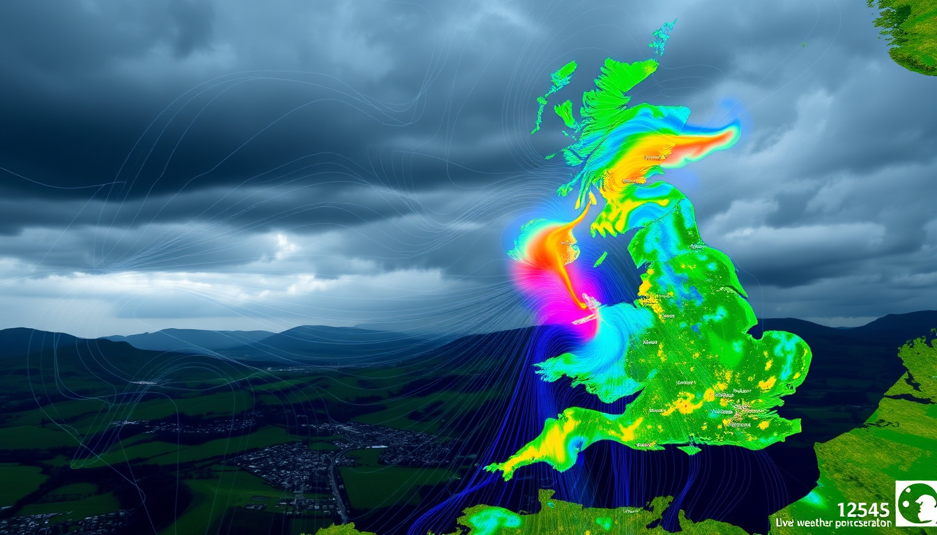
The Met Office provides official live UK rainfall radar maps accessible via their website and app, featuring interactive views for locations like London and Manchester. These tools display real-time precipitation rates, forecasts up to 5 days ahead, and satellite imagery, with colour-customizable options and zoom functionality to help users track weather patterns across the country.
Whether monitoring an approaching storm or planning outdoor activities, the Met Office rainfall radar offers one of the most comprehensive real-time weather tracking systems available in the United Kingdom. The service combines satellite data, ground-based radar observations, and forecast models to deliver precipitation information updated every few minutes.
Met Office Rainfall Radar Near London
Those searching for a Met Office rainfall radar near London can access the official interactive map directly through the Met Office website. The map allows users to zoom into the Greater London area, viewing real-time precipitation overlaid with severe weather warnings where applicable. This level of local detail makes it particularly useful for commuters, event organisers, and residents monitoring changing conditions across the capital.
Coverage
UK-wide precipitation rates, 48-hour observations, and 5-day forecast
Features
Interactive zoom, selectable layers for rain, snow, and satellite views
Alternatives
Official Met Office app with dedicated mobile radar experience
Key insights from the rainfall radar
- Updates refresh every 5 to 15 minutes, providing near-real-time precipitation data
- Forecast horizons extend up to 5 days, allowing users to plan ahead
- An accessible colour map version exists for users with colour vision deficiencies
- Satellite imagery layers show cloud cover alongside precipitation data
- Severe weather warnings can be overlaid directly on the radar view
- The map integrates with the Met Office app for seamless mobile tracking
Radar feature snapshot
| Feature | Details | Access Method |
|---|---|---|
| Update Frequency | Every 5–15 minutes | Live map |
| Forecast Range | Up to 5 days ahead | Tab navigation on map |
| Historical Data | Last 48 hours of observations | Built into map timeline |
| Coverage | UK-wide precipitation | Interactive zoom |
| Accessible Map | Colour-blind friendly palette | Separate dedicated page |
| Mobile Support | App with widgets and alerts | Google Play / App Store |
Met Office Rainfall Radar Near Manchester
For residents and visitors in Manchester, the Met Office offers similarly detailed radar coverage through both the website and mobile application. Users can zoom directly to the Manchester area to see real-time rainfall patterns, with the platform also providing 7-day forecasts that include rain probability, temperature, wind speed, and any active weather warnings.
The Manchester forecast page includes comprehensive local data alongside direct access to the interactive radar map. This integration allows users to move seamlessly between detailed location forecasts and broader precipitation views, helping them understand how conditions may develop throughout the day.
The Met Office app allows you to save multiple locations such as London and Manchester for quick access to localised forecasts and notifications whenever weather conditions change significantly.
How to zoom to your location
On the Met Office website, users can zoom to specific areas using mouse scroll or pinch gestures on mobile devices. From the main map menu, selecting layers such as rainfall, satellite, or temperature allows for more detailed views. For London and Manchester specifically, the platform supports one-tap navigation to these major urban areas through the forecast pages.
Live Weather Radar UK
The live weather radar across the United Kingdom provides a comprehensive view of current precipitation patterns as they develop. The official rainfall radar forecast map displays UK-wide rainfall data with interactive zoom capabilities that allow users to examine conditions at street level or view the entire country at once.
Using the live map
The interactive map supports multiple data layers beyond simple rainfall, including cloud cover, temperature gradients, wind patterns, lightning strikes, and satellite imagery. Users can toggle between these layers using the map menu to build a complete picture of current and forecast weather conditions. The interface also supports colour customisation to improve visibility for individual users.
UK weather map live features
The live weather map updates regularly throughout the day, showing precipitation as it moves across the country. Each update cycle provides new data points that are combined with forecast models to project how weather systems may evolve. This combination of real-time observation and forward projection gives users a reliable tool for understanding both current conditions and near-term expectations.
Comparison with third-party radar services
While the Met Office provides the authoritative source for UK rainfall data, several third-party applications incorporate this same information. UK Weather Radar for Android displays Met Office-sourced rain, cloud, and synoptic maps with hourly forecasts, offering one-tap zoomable views and the ability to bookmark locations including London and Manchester. These alternatives can provide a streamlined experience but ultimately rely on the same underlying Met Office data.
All third-party applications using Met Office radar data pull from the same official feed. The primary advantage of using the official Met Office website or app directly is access to the most complete feature set and guaranteed data accuracy.
Met Office Weather Satellite UK
The Met Office weather satellite capabilities in the UK form a crucial component of the rainfall radar system. Satellite imagery layers integrate directly with the radar maps, allowing users to see cloud formations alongside precipitation data. This combination helps users understand the structure of weather systems and how they may evolve as they move across the country.
Satellite imagery access
Accessing satellite views is straightforward on the Met Office platform. From the main radar map, selecting the satellite layer from the available options displays visible cloud imagery overlaid on the precipitation data. This dual view helps users distinguish between areas of active rainfall and regions where cloud cover exists without significant precipitation.
Live tracker functionality
The live tracker functionality allows users to follow specific weather features as they develop. By monitoring both radar and satellite data simultaneously, users can observe how cloud systems form, develop precipitation, and move across the UK. This is particularly useful during periods of rapidly changing weather or when severe conditions are expected.
Free access to satellite data
All satellite and radar data on the Met Office website is freely accessible without subscription. The official Met Office website provides full access to maps, forecasts, and satellite imagery as part of its public weather service. Mobile users can download the official app from Google Play or the App Store for on-the-go access to the same information.
Met Office Rainfall Radar Accuracy and Limitations
Understanding the accuracy and limitations of the Met Office rainfall radar helps users interpret the data effectively. The system combines multiple data sources including ground-based radar stations and satellite observations, processed through sophisticated forecast models to produce the precipitation estimates displayed on the maps.
Real-time radar data showing current precipitation is highly reliable. Forecast projections beyond 48 hours carry increasing uncertainty as weather systems can diverge significantly from predicted models.
| Element | Certainty Level | Source |
|---|---|---|
| Current precipitation | High | Live radar observations |
| Next 6 hours | High | Nowcast models |
| 24-hour forecast | Moderate | Forecast models |
| 3–5 day outlook | Moderate to low | Ensemble forecasts |
How the Met Office Rainfall Radar Works
The Met Office rainfall radar system operates through a network of ground-based radar stations positioned across the United Kingdom. These stations emit radar pulses that reflect off precipitation particles, allowing the system to calculate the location, intensity, and movement of rainfall. This data is combined with satellite imagery and surface observations to create a comprehensive picture of current conditions.
The system processes observations from the past 48 hours while also running forecast models that project conditions up to 5 days ahead. When severe weather approaches, additional layers such as lightning detection and wind speed measurements integrate with the radar data to provide a complete weather monitoring solution. For those monitoring UK storm systems, these integrated views offer valuable context.
Official Sources and Further Information
The Met Office serves as the primary authoritative source for UK weather radar data. Official channels include the interactive rainfall radar map, the dedicated accessible colours version for users with colour vision requirements, and the mobile application available on both major platforms.
For technical support or enquiries, the Met Office can be contacted via email at enquiries@metoffice.gov.uk. The organisation also provides additional resources including video forecasts, detailed location reports, and educational content about how weather monitoring systems operate.
Summary
The Met Office rainfall radar provides a comprehensive, freely accessible tool for monitoring UK precipitation in real time. Whether accessing the service through the website or mobile application, users can zoom to specific locations including London and Manchester, layer satellite imagery with radar data, and track forecasts up to 5 days ahead. The system updates every few minutes, with an accessible colour option available for users with visual requirements. Comparing weather sources helps build a complete understanding of current and forecast conditions, though the Met Office remains the authoritative source for official UK radar data.
Frequently Asked Questions
How often does the Met Office rainfall radar update?
The radar data updates every 5 to 15 minutes, providing near-real-time information about precipitation across the UK.
Can I zoom in to see rainfall in London specifically?
Yes, the interactive map allows users to zoom to any location. The London area forecast is also accessible directly through the dedicated forecast pages.
Is the Met Office rainfall radar free to use?
Yes, all radar maps, satellite imagery, and forecasts on the Met Office website and app are available free of charge.
Does the Met Office app include the radar feature?
Yes, the official Met Office app for Android and iOS includes interactive rainfall radar, satellite maps, and severe weather warnings alongside hourly and daily forecasts.
Is there an accessible version of the radar map?
Yes, the Met Office provides a dedicated accessible colours map version designed for users with colour vision deficiencies.
How far ahead can the radar forecast precipitation?
The forecast maps display precipitation predictions up to 5 days ahead, with decreasing certainty at longer time horizons.
Can I see satellite imagery alongside the radar?
Yes, the map interface allows users to layer satellite imagery with radar data to view cloud cover and precipitation together.

Oliver William Davies Thompson is a staff writer for MetroReport.uk, covering city news, transport, housing and urban policy. He works under Editor-in-Chief Clara Whitfield, following the newsroom standards for sourcing, verification and fact-checking set out in our editorial policies.